San Adrián del Valle
San Adrián del Valle ist eine Gemeinde (Municipio) mit 100 Einwohnern (Stand: 1. Januar 2022) in der Provinz León der Autonomen Gemeinschaft Kastilien-León.
| Gemeinde San Adrián del Valle | |||
|---|---|---|---|
_2.jpg.webp) | |||
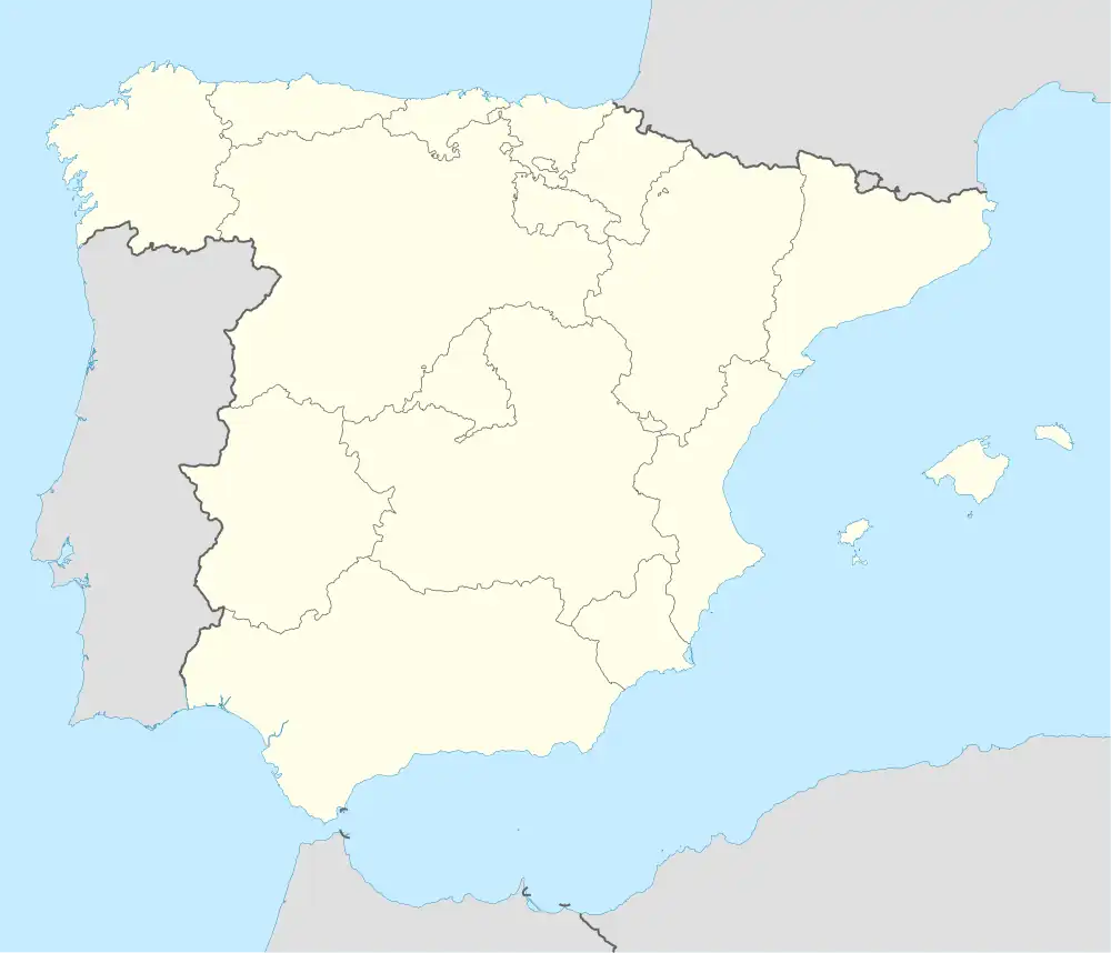
| Wappen | Karte von Spanien | ||
.svg.png.webp) |
| ||
| Basisdaten | |||
| Land: | |||
| Autonome Gemeinschaft: | |||
| Provinz: | León | ||
| Comarca: | El Páramo | ||
| Gerichtsbezirk: | La Bañeza | ||
| Koordinaten: | 42° 8′ N, 5° 44′ W | ||
| Höhe: | 732 msnm | ||
| Fläche: | 15,84 km² | ||
| Einwohner: | 100 (1. Jan. 2022)[1] | ||
| Bevölkerungsdichte: | 6 Einw./km² | ||
| Postleitzahl(en): | 24797 | ||
| Gemeindenummer (INE): | 24141 | ||
| Verwaltung | |||
| Amtssprache: | spanisch | ||
| Bürgermeister: | Francisco Prieto Ramos (PP) | ||
| Website: | San Adrián del Valle | ||
| Lage des Ortes | |||
Karte anzeigen 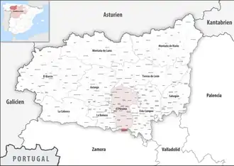 | |||
Geographie
San Adrián del Valle liegt etwa 61 Kilometer südsüdwestlich von León in einer Höhe von ca. 825 m. Durch den Südwesten der Gemeinde führt die Autovía A-6.
Bevölkerungsentwicklung
| Jahr | 1900 | 1950 | 1970 | 1981 | 1991 | 2001 | 2011 | 2021 |
|---|---|---|---|---|---|---|---|---|
| Einwohner | 871 | 690 | 375 | 248 | 215 | 148 | 119 | 100 |
| Quelle: INE[2] | ||||||||
Sehenswürdigkeiten
- Adrianskirche
- Christuskapelle
.jpg.webp) Adrianskirche
Adrianskirche.jpg.webp) Christuskapelle
Christuskapelle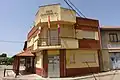 Rathaus
Weblinks
Commons: San Adrián del Valle – Sammlung von Bildern, Videos und Audiodateien
Einzelnachweise
- Cifras oficiales de población de los municipios españoles en aplicación de la Ley de Bases del Régimen Local (Art. 17). Instituto Nacional de Estadística (Bevölkerungsstatistiken des Instituto Nacional de Estadística, Stand 1. Januar 2022).
- INEbase. Alteraciones de los municipios. Abgerufen am 4. November 2023.
This article is issued from Wikipedia. The text is licensed under Creative Commons - Attribution - Sharealike. Additional terms may apply for the media files.