Tal der Hoffnung (Südgeorgien)
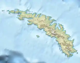
Das Tal der Hoffnung (englisch Hope Valley) ist ein 5 km langes Tal nahe dem westlichen Ende Südgeorgiens. Es erstreckt sich vom Undine Harbor in ostnordöstlicher Richtung.
| Tal der Hoffnung (Hope Valley) | ||
|---|---|---|
| Lage | Südgeorgien, Südatlantik | |
| Geographische Lage | 54° 1′ 47″ S, 37° 55′ 51″ W | |
| ||
Der deutsche Forschungsreisende Ludwig Kohl-Larsen kartierte und benannte das Tal bei seinem Besuch Südgeorgiens zwischen 1928 und 1929.
Weblinks
- Hope Valley. In: Geographic Names Information System. United States Geological Survey, United States Department of the Interior, archiviert vom (englisch).
- Hope Valley auf geographic.org (englisch)
This article is issued from Wikipedia. The text is licensed under Creative Commons - Attribution - Sharealike. Additional terms may apply for the media files.