Kumahu
Kumahu ist ein osttimoresischer Ort in der Gemeinde Liquiçá. Er liegt im Aldeia Pissu Craic (Suco Lauhata, Verwaltungsamt Bazartete) auf 443 m Höhe.[1] Der Ort ist eine lockere Ansammlung von Gebäuden auf einem Bergrücken, östlich des Tales des Hatunapa, eines Quellflusses des Carbutaeloas.[2] Südlich befindet sich der Ort Camalehou, nach Norden führt die Straße nach Pissu Craic an der Nordküste.[1]
| Kumahu | |||
|---|---|---|---|
| |||
| Koordinaten | 8° 36′ S, 125° 22′ O | ||
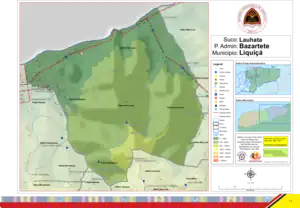 Karte des Sucos Lauhata | |||
| Basisdaten | |||
| Staat | Osttimor | ||
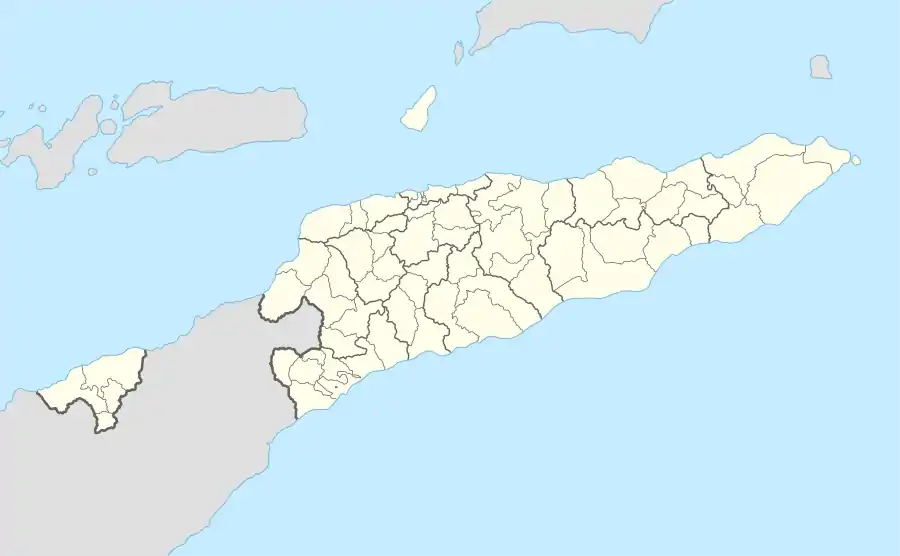
| Gemeinde | Liquiçá | ||
| Verwaltungsamt | Bazartete | ||
| Suco | Lauhata | ||
| Aldeia | Pissu Craic | ||
| Höhe | 443 m | ||
Einzelnachweise
- Direcção-Geral de Estatística: Atlas der Gemeinde Liquiçá.
- Timor-Leste GIS-Portal ( vom 30. Juni 2007 im Internet Archive)
This article is issued from Wikipedia. The text is licensed under Creative Commons - Attribution - Sharealike. Additional terms may apply for the media files.