Earl Fields Memorial Airport
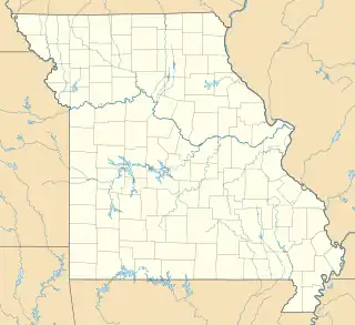
Der Earl Fields Memorial Airport (IATA-Code: POF, ICAO-Code: KPOF), auch Poplar Bluff Municipal Airport[1] genannt, ist ein öffentlicher Flughafen rund sechs Kilometer östlich der Innenstadt von Poplar Bluff (Missouri).
| Earl Fields Memorial Airport | ||||
|---|---|---|---|---|
| ||||
| Kenndaten | ||||
| ICAO-Code | KPOF | |||
| IATA-Code | POF | |||
| Koordinaten | ||||
| Höhe über MSL | 100 m (328 ft) | |||
| Verkehrsanbindung | ||||
| Entfernung vom Stadtzentrum | 6 km östlich von Poplar Bluff | |||
| Straße | US 60 | |||
| Start- und Landebahn | ||||
| 18/36 | 1526 m × 30 m | |||
_location_map.svg.png.webp)
Weblinks
- Offizielle Website (englisch)
Einzelnachweise
- Poplar Bluff Municipal Airport. In: Geographic Names Information System. United States Geological Survey, United States Department of the Interior, abgerufen am 26. November 2019 (englisch).
Flughäfen im US-Bundesstaat Missouri
Branson | Cape Girardeau | Columbia | Joplin | Kansas City (Downtown) | Kansas City (International) | Kirksville | Lee's Summit | Springfield | St. Charles County | St. Joseph | St. Louis (Creve Coeur) | St. Louis (Lambert) | St. Louis (Spirit of St. Louis) | Waynesville/St. Robert
Militärisch: Forney | Rosecrans | Whiteman
Geschlossen: Grandview
This article is issued from Wikipedia. The text is licensed under Creative Commons - Attribution - Sharealike. Additional terms may apply for the media files.